Available Records
- Building Permits (from 1905 to present)
- Certificates of Occupancy (from 1940 to present)
- Range Files (violations)
- Plot Plans
- Geology/Soils Reports
- Affidavits/ZIs
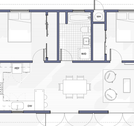
- Approved Building Plans
- Board Files
- Administrative Approvals
- Electrical, Plumbing, Mechanical (from 1985 to 1990 and from 1996 to present)
Copies of blueprints can be requested from the department but these type of requests have special requirements.
Can’t find the records you are looking for in our online system? Additional records may be available through the LADBS Records Section or the City. Please note that the LADBS Records Section will only produce documents NOT available as a PDF through our Search Online Building Records system.
The following is a collection of helpful links for additional information related to searching for building records.

Atlas
Atlas is an interactive map application designed to help customers find parcels and buildings on a city map by address, legal description, or other search criteria. Customers can use Atlas to search for and access permit, building, and certificate of occupancy information for properties within LA City. The app also allows customers to view custom layer maps, such as Census, Fault Zones, Methane, Sewer, Topography, and Zoning.

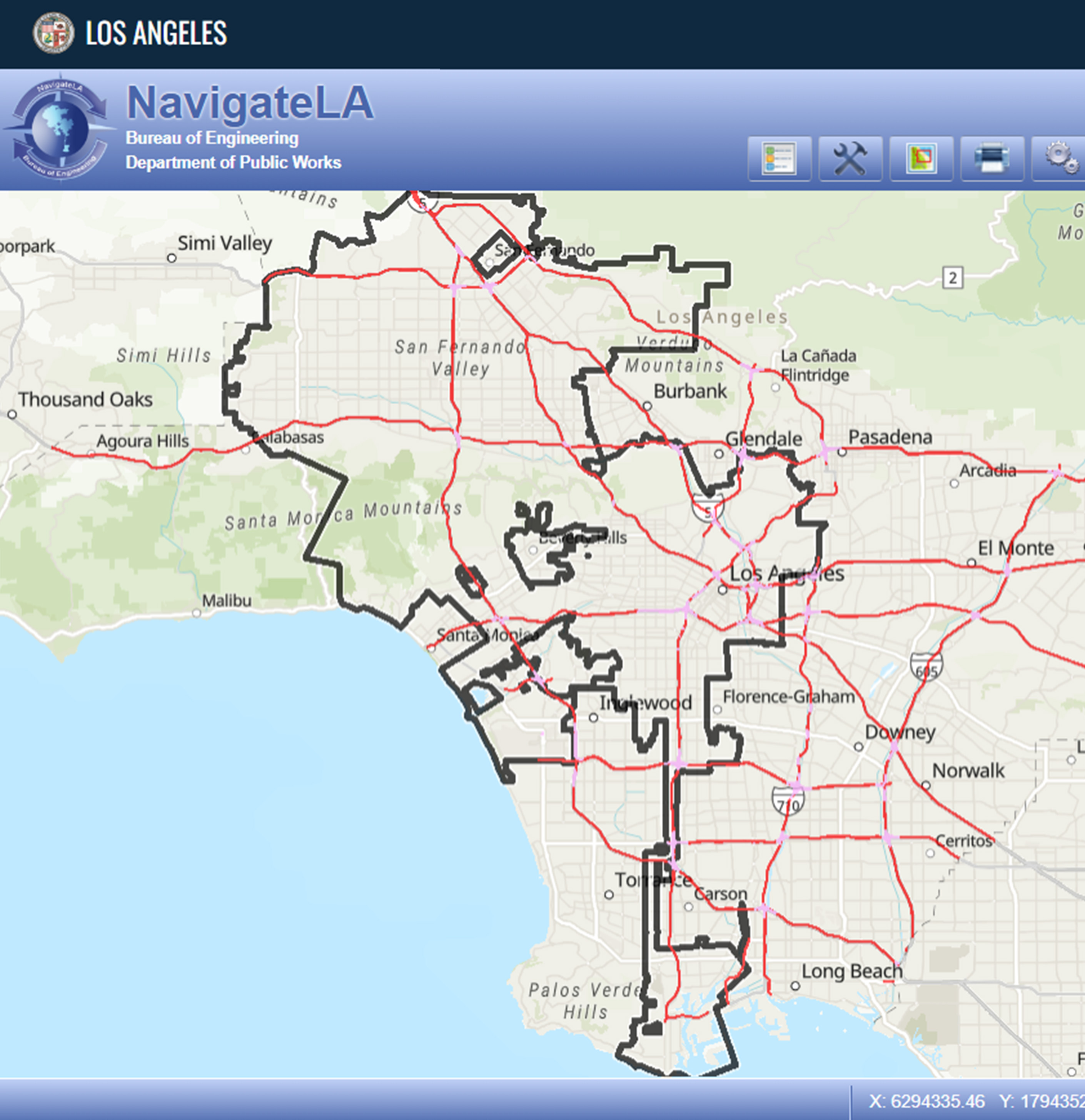
NavigateLA
Navigate LA is a mapping application that delivers maps and reports based on data supplied by various LA City departments, Los Angeles County, and Thomas Bros. Maps. Among some of the reports available are: Bureau of Engineering Parcel Report, Building and Safety Parcel Report, Sewer Wye Parcel Report, and County Assessor Parcel Report. NavigateLA serves a similar function to Atlas in that it provides property information.
- Forms

